The Little Deschutes River
A
Description of its Course, Tributaries, and Water Management
  The Little Deschutes River, sometimes called the Little River, runs
ninety-two miles from south to north. It meanders two miles
through Vandevert Ranch shortly before it joins the "Big" Deschutes near Sunriver. The
river rises at 6,000 feet of altitude in the Mt. Thielsen Wilderness
Area. One of the river's sources, pictured at left, is Six Horse Springs. A trail leads down to the springs from the Pacific Crest Trail.
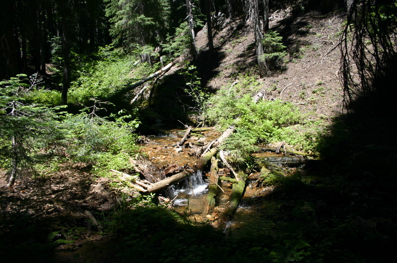
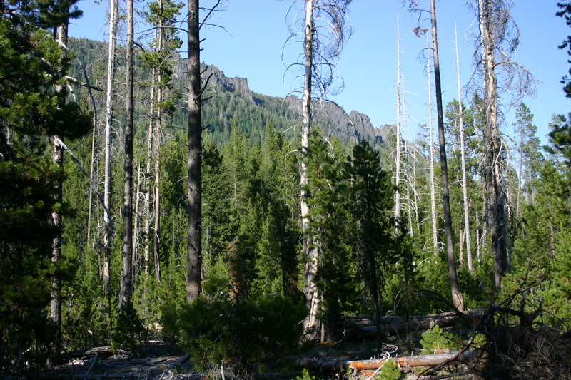
The river descends steeply down through the forest between Cappy Mountain and Clover Butte. (See photo to the right.) The first twelve miles, down to Hemlock Creek, are federally
designated Wild and Scenic River. The Little Deschutes River, sometimes called the Little River, runs
ninety-two miles from south to north. It meanders two miles
through Vandevert Ranch shortly before it joins the "Big" Deschutes near Sunriver. The
river rises at 6,000 feet of altitude in the Mt. Thielsen Wilderness
Area. One of the river's sources, pictured at left, is Six Horse Springs. A trail leads down to the springs from the Pacific Crest Trail.
The river descends steeply down through the forest between Cappy Mountain and Clover Butte. (See photo to the right.) The first twelve miles, down to Hemlock Creek, are federally
designated Wild and Scenic River.
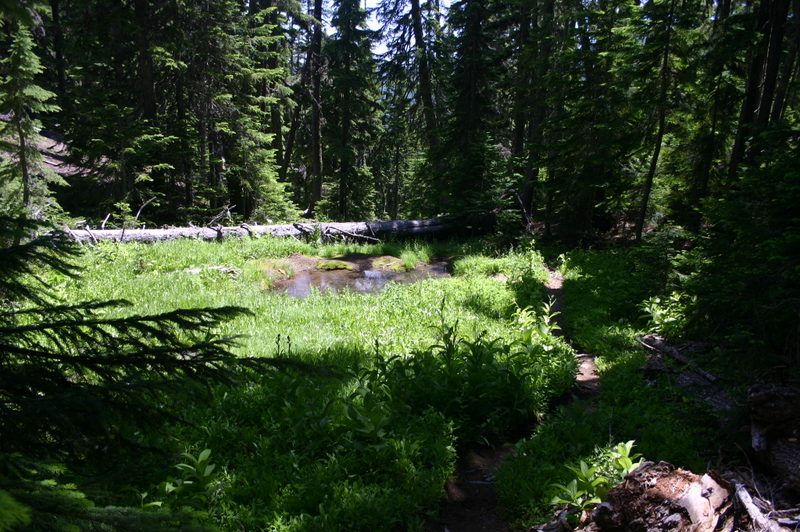
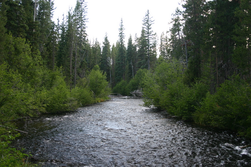
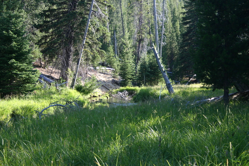  The Little Deschutes continues running to the east, below the south side of
Burn Butte. The picture to the left shows the river about 3
miles below its source, soon after Burn Creek and Clover Creek flow into it.
The water temperature was a chilly 52 degrees Fahrenheit on August
1, 2007. (All temperatures are as of August 1, 2007 unless
otherwise noted.) A grassy meadow, broken by
lodgepole pines, stretches to the north of the river here, toward
the crags of Burn Butte (photo to right). The Little Deschutes continues running to the east, below the south side of
Burn Butte. The picture to the left shows the river about 3
miles below its source, soon after Burn Creek and Clover Creek flow into it.
The water temperature was a chilly 52 degrees Fahrenheit on August
1, 2007. (All temperatures are as of August 1, 2007 unless
otherwise noted.) A grassy meadow, broken by
lodgepole pines, stretches to the north of the river here, toward
the crags of Burn Butte (photo to right).
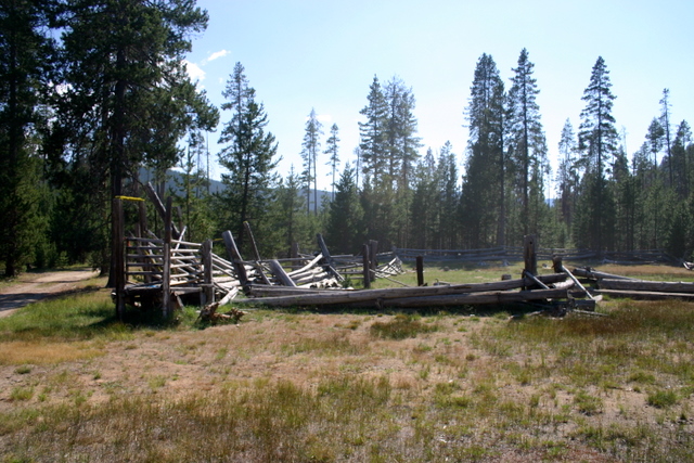
 As
the river turns to the north, it passes a ruined corral, designated
as "Cow Camp" in the gazeteer. Four inch trout were spotted
here in 54 degree water. As
the river turns to the north, it passes a ruined corral, designated
as "Cow Camp" in the gazeteer. Four inch trout were spotted
here in 54 degree water.
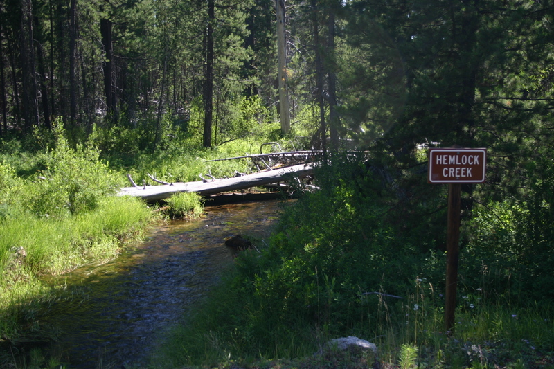 
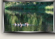
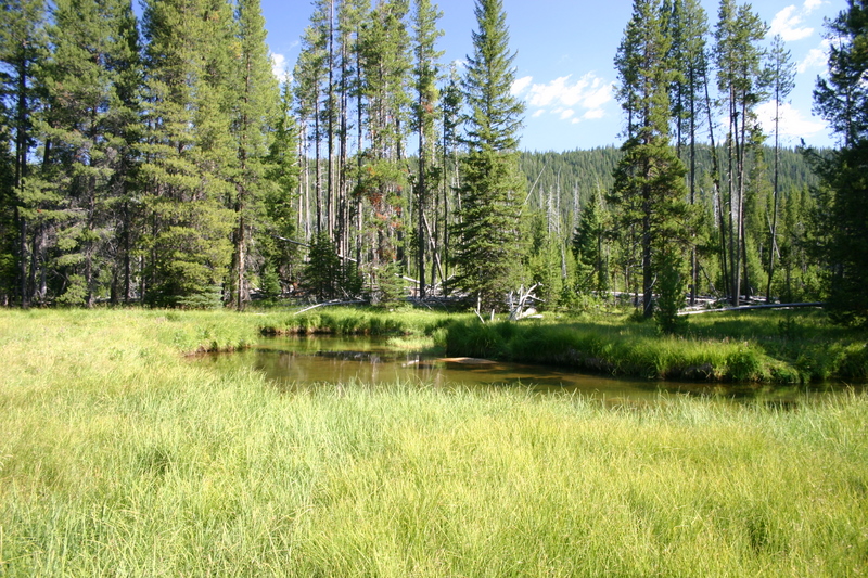
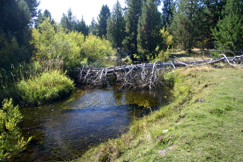
After
turning north, the river is joined by Hemlock Creek (see photo).
The photo was taken from Two Rivers Road where it crosses over the
creek. There were six inch trout visible in the 60
degree water. Other nearby tributaries include Swamp
Creek and Spruce Creek.
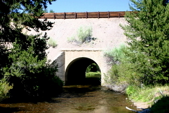
Near
Mowich, just south of Oregon State Highway 58, the Little Deschutes
passes under the Union Pacific railroad tracks (photo to right).
The famous Amtrak passenger train, the Coast Starlight, passes over
the Little Deschutes here on its route between Los Angeles and
Seattle.
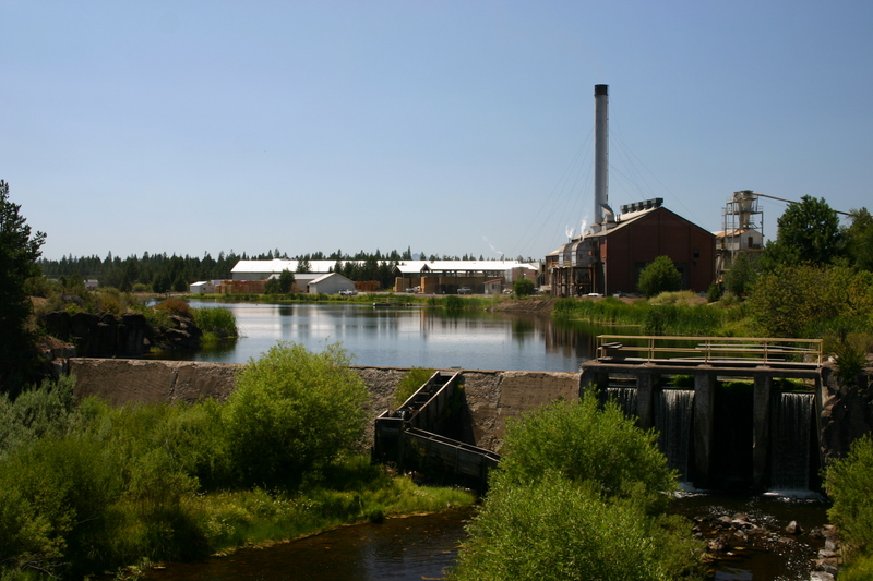
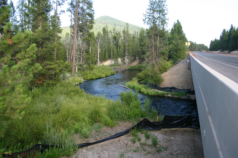
From Mowich and
its crossing under the railroad and under Highway 58, the river
parallels US Highway 97 (the Dalles-California Highway) north to the
towns of Crescent and Gilchrist. The water is captured in a
large pond next to the Interfors lumber mill (formerly the Gilchrist
lumber mill). The pond and the dam that holds it back, shown
in the photo on the left, are not used to control the flow of the
river. The river flows out at the same rate it flows in.
Note the fish ladder to the left of the spillway.
Crescent Lake
and Crescent Creek
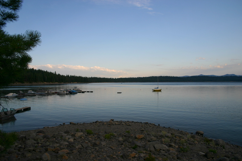 
The largest
tributary of the Little Deschutes is Crescent Creek, shown in the
photo on the right shortly after leaving Crescent Lake (the photo on
the left). The temperature of the creek at the location shown,
where the creek crosses the Crescent Lake Highway, is the same as
the water in the lake - 66 degrees. The Crescent Lake Dam
plays a critical role in managing the flow of water in the lower
Little Deschutes River.
 The photo to the
right shows Crescent Creek just below where it crosses Highway 58
and runs northeast to join the Little Deschutes north of Gilchrist.
Odell Butte is in the background. Big Marsh Creek flows into
Crescent Creek above Highway 58 and the water in Crescent Creek had
risen to 70 degrees where this photo was taken. The photo to the
right shows Crescent Creek just below where it crosses Highway 58
and runs northeast to join the Little Deschutes north of Gilchrist.
Odell Butte is in the background. Big Marsh Creek flows into
Crescent Creek above Highway 58 and the water in Crescent Creek had
risen to 70 degrees where this photo was taken.
The first photo
below shows the Little Deschutes less than a hundred yards above its
junction with Crescent Creek. The second photo shows the
junction looking downstream with Crescent Creek coming in on the left and a
cove that the Little
  Deschutes
flows into on the right. On September 23, 2008, when these
photos were taken, the temperature of both rivers, before they
joined, was 43 degrees. Deschutes
flows into on the right. On September 23, 2008, when these
photos were taken, the temperature of both rivers, before they
joined, was 43 degrees.
The Little
Deschutes in La Pine and Below
Near La Pine a gaging station maintained by the U.S. Department of
the Interior Bureau of Reclamation, the "LAPO" gauge, is on
private land and pictured at left. Data from the gauge can be accessed at
http://www.usbr.gov/pn-bin/graphrt.pl?lapo_q. On August 1,
2007 the river was flowing at 111.87 cubic feet per second here and
its average temperature was 70.01 degrees.
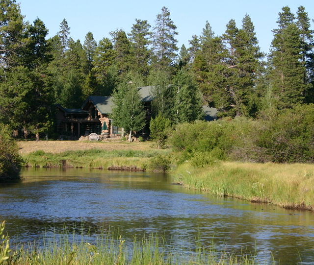 
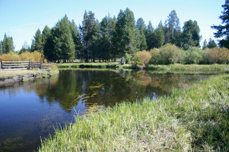
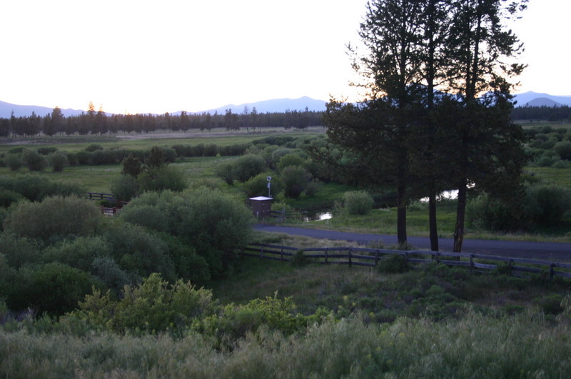
Vandevert Ranch
(See the photo on the left.) is
the next to last property the river passes through before it
joins Deschutes River. On the morning of August 3, 2007, the water temperature
from one end of the ranch to the other was a consistent 64 degrees.
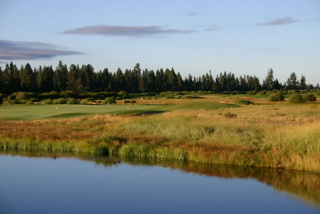
Below Vandevert, the river runs through the Crosswater golf course
(photo to right), where some of the more challenging shots require
players to hit over the river.
Click Here to Return to the Vandevert
Ranch Environment Page
|