Willow Management Plan
Background
In the summer of 1988 a group of agency
representatives and consultants met at the Vandevert Ranch to
discuss the concepts of a Willow Management Plan to be initiated
along the Little Deschutes River. The 400 acre Vandevert Ranch
extends approximately one mile in a north and south direction, but
the river meanders approximately two miles through the Ranch with
about 90 acres of riparian zone fronting the river.
Those attending the field trip to review the
Management Plan were: Ted Fies – Oregon Department of Fish and
Wildlife, John Jackson – Oregon Department of Forestry, Paul
Blikstad and Terry Carlson – Deschutes County Planning Department,
and Earl Nicholson – Consulting Forester. The guidelines of the
Willow Management Plan were discussed and modified as contained
herein. The first phase of the work was completed in the fall of
1988.
Definitions
Riparian frontage area – All area within ten
feet of the mean high water line
Riparian influence area – That area between the
riparian frontage area and the upland vegetation boundary.
Objectives
-
Meet quality standards for riparian areas
specified by Federal, State and County regulation
1.
Protection of Water Quality
(a)
Purity
(b)
Water Temperature
2.
Wildlife Habitat
(a)
Food
(b)
Protective cover (1. leave clumps of old and new willows to satisfy
this need, 2. remove no more than 25% of shade along banks of the
Little Deschutes River)
-
No herbicide treatment shall be allowed
within 20 feet of the river, with a wind exceeding 3 mph, or
standing water areas, or where the water table is within 6” of
surface.
Riparian Frontage Area (stream side back
10’, also to include Willows which shade river)
-
All post 1979 Willow establishment can be
removed, however, if left, it shall be used to determine the 75%
of shade (original) to remain undisturbed.
Riparian Influence Area (between
riparian frontage area and upland vegetation)
Natural Resources Management Plan and Willow
Management Plan prepared by:
_____________________________________________
Earl E. Nichols, Professional Forester, S.A.F.
– A.C.F.
Approved by Owner:
_____________________________________________
James A. Gardner
11-7-91
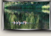
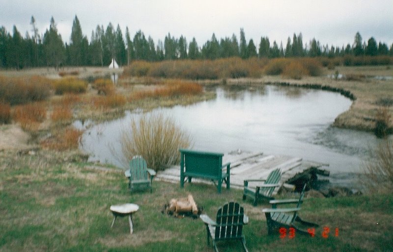
(Also see
1993 photo, below, of scarce willows near the Homestead - ed.)
Return to
Vandevert Ranch Environment
|