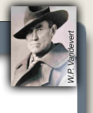
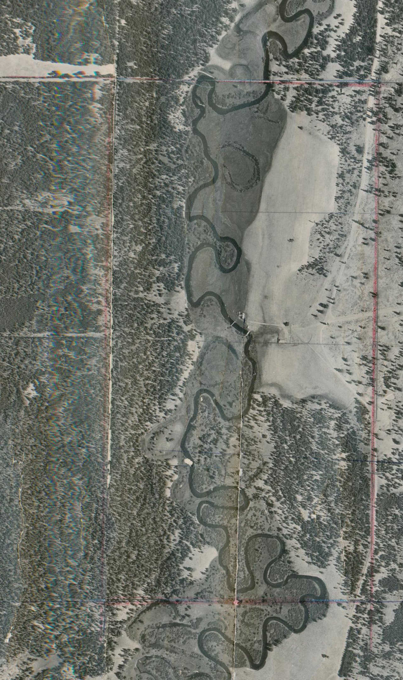
Aerial Photographs 1951
The first photograph below shows the area of the Homestead as it
appeared from the air in 1951. You can see the house toward the
left of the photo near the footbridge over the river. The wider
bridge for cattle, cars, and wagons, is a little further south and the
light-colored building near it is the garage. The guest house is
not yet built. The dark mass in the center of the photo is the
ponderosa that is still there by the Homestead Road. The building
to the south of it is the barn. The chicken house seems to be
gone. The dark straight horizontal line and the rougher vertical
line south of the house result from the map having been folded and are
not features on the ground
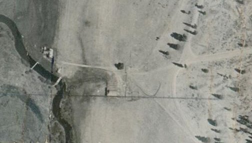
The following photograph shows the entire area of the ranch with the
borders of the ranch at that time (320 acres) outlined in light red.
Many more willows have grown up since 1951 and two of the oxbows shown
below were bypassed by the river in the 1980's. White spots in the
photo are flaws in the paper, not on the ground. Also see the
1979 aerial photos in the Willow
Management Plan appendix to the Stewardship Plan.